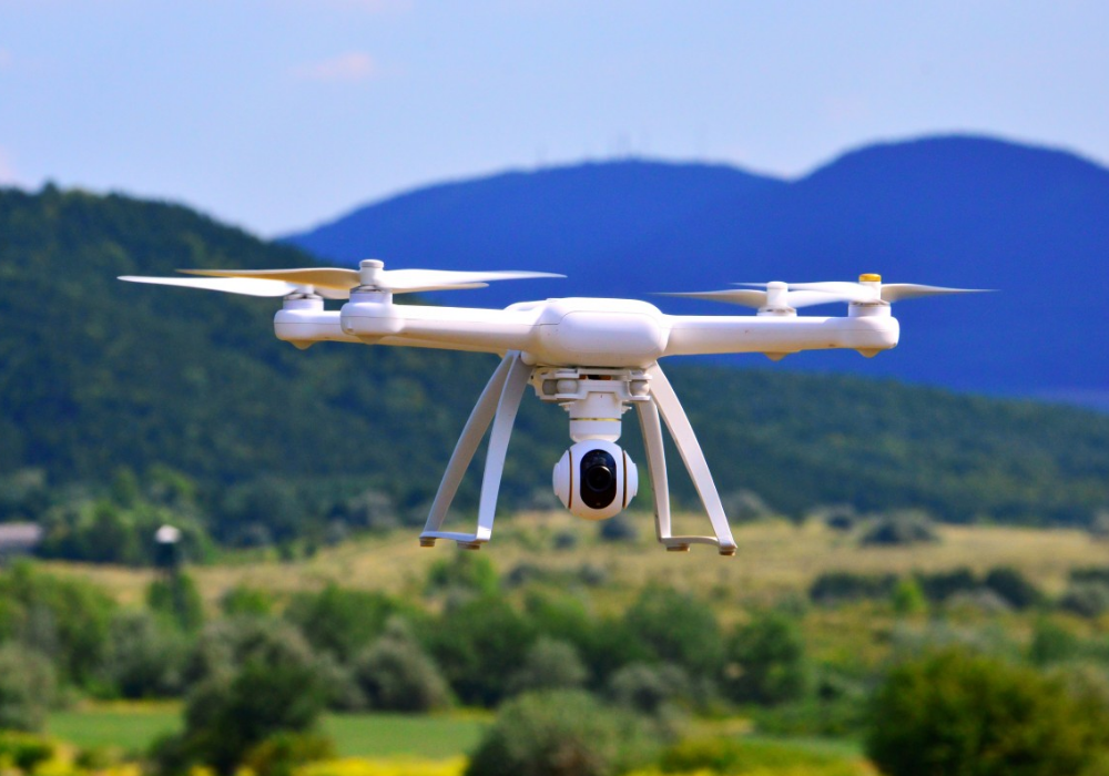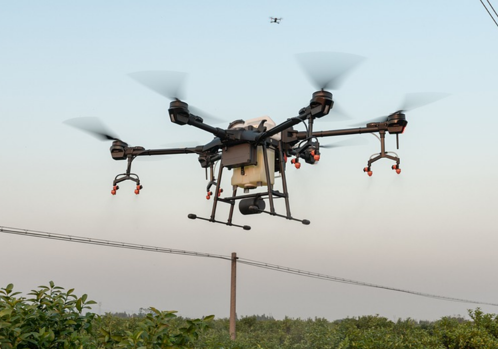
From exploration, surveying, and mapping to maintaining safety and enhancing security, mining companies are coming up with many new ways of using drones within the industry.
Data and analytics firm GlobalData says the popularity of unmanned aerial vehicles (UAVs) across the mining industry has grown rapidly in recent years, with mine sites across Australasia and Africa showing substantial penetration by drones.
The unlimited aerial data that can be collected with drone technology means engineers can record and track more information in less time, allowing them to focus on analysis and interpretation.
It is believed 70% of the mining majors have at least trialled drones since 2016, with companies such as Rio Tinto, BHP and Anglo American using the technology.
Yet, small and mid-sized firms have so far been slow to adopt, with just a 37% share.
Alongside drones, other technologies have also seen a rise in popularity within mining.
Developments in autonomous technology could make it safer, cheaper and more valuable, which would be welcome for an industry that is often criticised over health and safety issues.
Additionally, global mining industry leaders have agreed to co-operate on a blockchain scheme led by the World Economic Forum (WEF), in an effort to accelerate responsible sourcing and sustainability practices.
German supply chain auditor RCS Global has been developing and deploying a digital tool that harnesses blockchain to create a transparent network that lets companies accurately source the commodities they buy.
Here are five key trends influencing drone development in the mining industry, identified by GlobalData.
Five key trends for drones in mining
Monitoring and inspection
Mining is among the most dangerous industries for workers, especially those working deep underground.
Workers can be subjected to hazards such as rock falls, humid conditions, gas leaks, dust explosions, and floods.
Addressing this, mining companies have used drones in such mines to monitor and inspect deep shafts.

Drones are also being employed to inspect mining equipment, which is an expensive and time-consuming process requiring a highly-skilled workforce.
Automatic surveying and mapping
Surveying and mapping of mineral landscapes is typically a time-consuming process.
By employing drones and a drone pilot, instead of a piloted plane, a mine can save around 90% of the cost-per-hour and collect unlimited aerial data.
This includes fine measurements by simultaneously capturing high-end ortho-images.
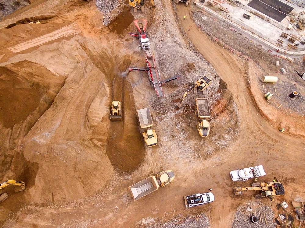
Stockpile management
One of the biggest challenges any mining company faces while managing stockpiles is the extreme height and area covered, which tends to change frequently.
Drones can enable mining companies to generate aerial terrain models of their inventory and ensure companies can effectively keep track of stockpile movement.
Haulage road optimisation

The haul road network has a significant impact on the efficiency of mining activities. To achieve safe and uniform transit, road conditions must be constantly monitored.
Drones can facilitate this process by collecting a large amount of aerial data, covering wider areas more precisely, which can then be used by engineers for planning, designing, construction and maintenance activities.
Tailings dam management
The use of drones to measure tailings dams could eliminate the risk of manual surveying. There is no need for manual interference within the proximity of the dump when drones are available.
By analysing the captured data on a digital platform, mining companies can maintain the structural integrity of the tailings dam to help prevent failure.


